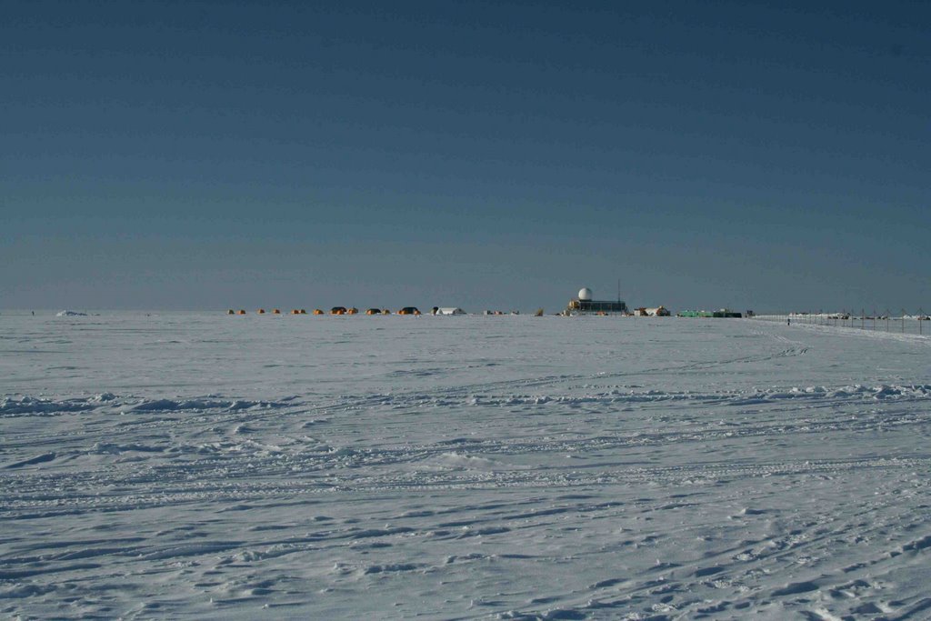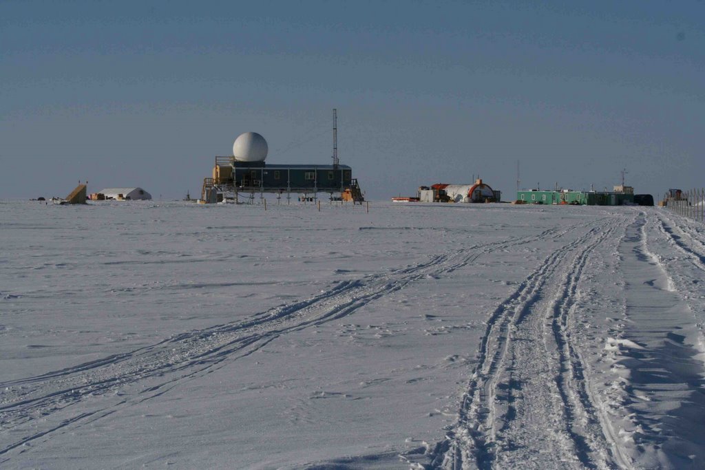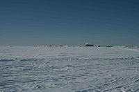
This is a view of the main camp from SATcamp. The big building (the "Big House) is for cooking, eating and hanging out. The tents where I and others sleep (tents?!?!?!?) are the yellowish-orange dots off to the left. Other buildings include scientific labs, a shop and other support facilities. The small and seemingly insignificant black vertical line near the path in the right of the photo is the drill casing for the GISP2 ice core (see next photo).
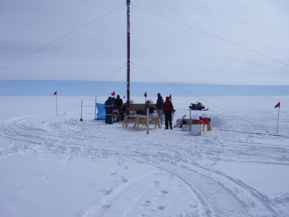
A zoomed view of the main camp from near the GISP2 drill site (I hope to someday add a little science sidebar talking about the importance of the GISP2 record in understandig climate). It is a "proxy" record of climate over roughly the past 100,000 years and was obtained by drilling through the almost 2 miles of ice below summit camp all the way to bedrock below (an interesting side note is that the weight of the ice on the land in Greenland has submerged the rock beneath below sea level, so the elevation of Greenland's summit is actually just a bit less than the thickness of the ice). The ice retrieved from the GISP2 core was analyzed for a number of different things, but probably mostly significant among them a "proxy" record for surface / ground temperature through time, an isotope of oxygen in the water.

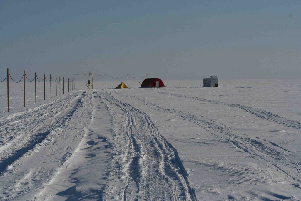
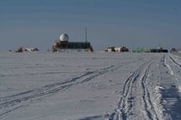
A view of SATcamp from 2/3 of the way from the main camp. Le red shed on the left (a place for red-tinged research and thought). The bally building is on the right where all the noisy pumps, instruments and whatnot are housed. The yellow tent is for those who drank too much coffee with breakfast.
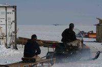
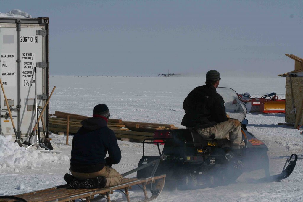
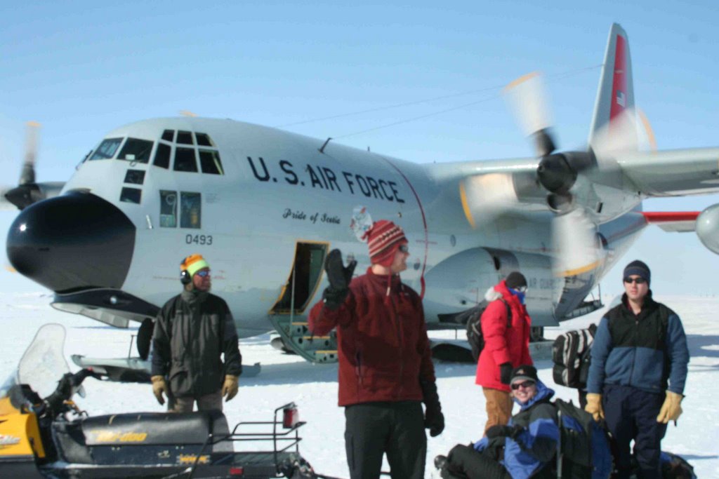
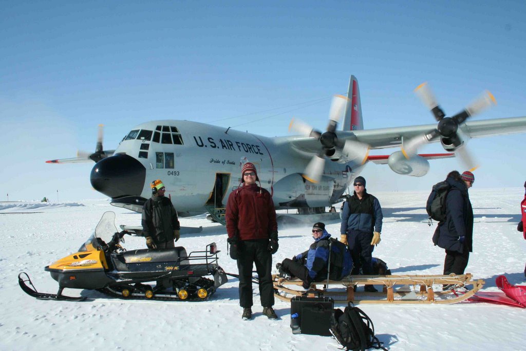
With the plane in the distance and the snowmobile close, this picture represents more activity in ten seconds than occurs in some weeks up here. Note the form of the sled rider. I'm currently lobbying for this to be a new Olympic event.
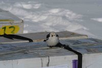
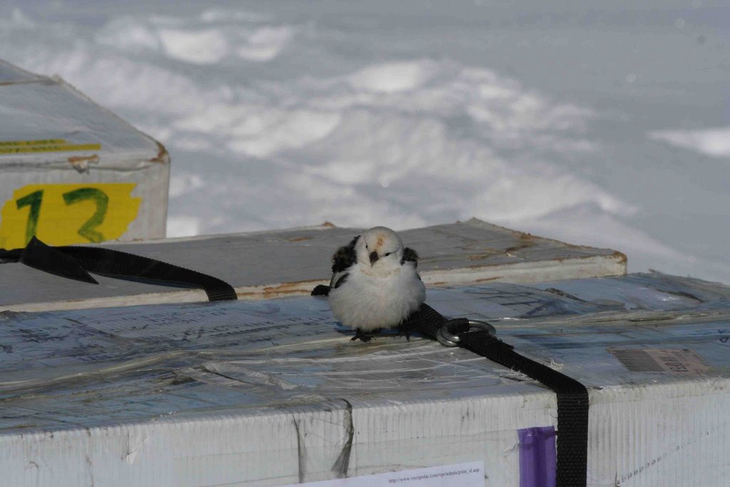
A (rare) sign of non-human life in camp. This arctic bird (sorry, I don't know what it is) visited SATcamp and our ice core boxes. Not nearly as cool as an arctic fox seen here earlier this season, but still perty cool. The sad thing about spotting animal life up here is that it means chances for survival are slim...

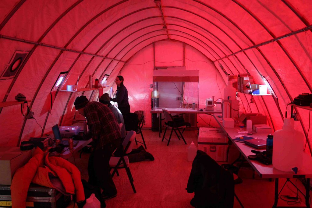
Inside le red shed--the same building viewed in the distance of a previous photo. This is one of the two buildings of the "SATcamp" (satellite camp), which is set up away from the main camp because we are air sampling for trace constituents and we don't want to contaminate our samples with combustion sources (snowmobiles, generators and whatnot) that operate within the main camp.

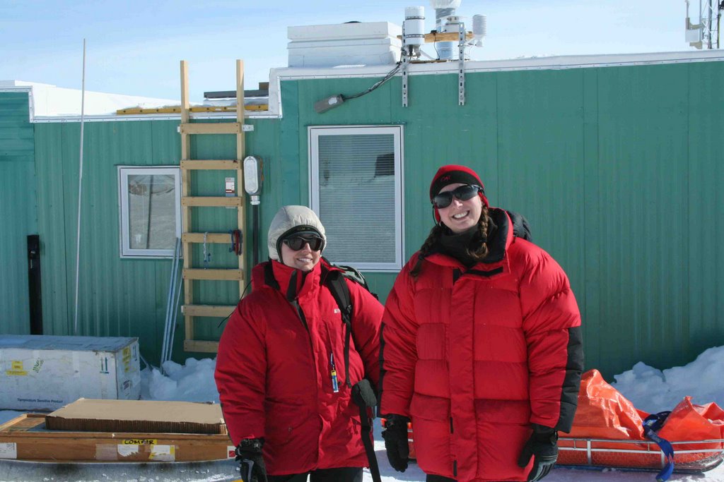
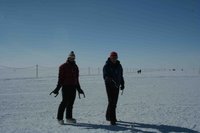
Seattle folks I was lucky enuff to spend time with while I was up here. Lora on the left is queen of the snowpit--in her case a carefully-dug hole in the snow to test the transmittance of radiation as well as snow properties. Meredith on the right is my main partner in crime while I'm up here. She and I split sampling shifts and other experimental responsibilities up here. Go team!
Some other Seattle folks playing some reindeer games. Shelley on the left and Andrew "danger medic" on the right. Arctic horseshoes plays a bit different than the regular version, as you might expect.
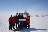
While we were up here, our good friend Julia got married. Though we couldn't tell her in person, we wanted to help her celebrate nonetheless. In the photo from left to right are Aaron, Lora, Shelley (all Univ. of Washington grad students), Jake (yeah, the one with the veil) and Sandy (VECO staff), le Justin (el shorto), Meredith (now a Brown University faculty member!) and Bob (front row). Congrats, Julia and Andrew!!!
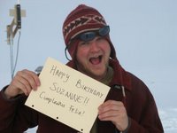
Oh yeah! We still celebrate while we're up here. This photo was part of a birthday message from, Gail, one of the other "SATcamp-ers" to her sister (in Peru, I think?!?). The major difference between celebrations "up here" and "down there" is ours are always just a little "off". See exhibit A to the left.
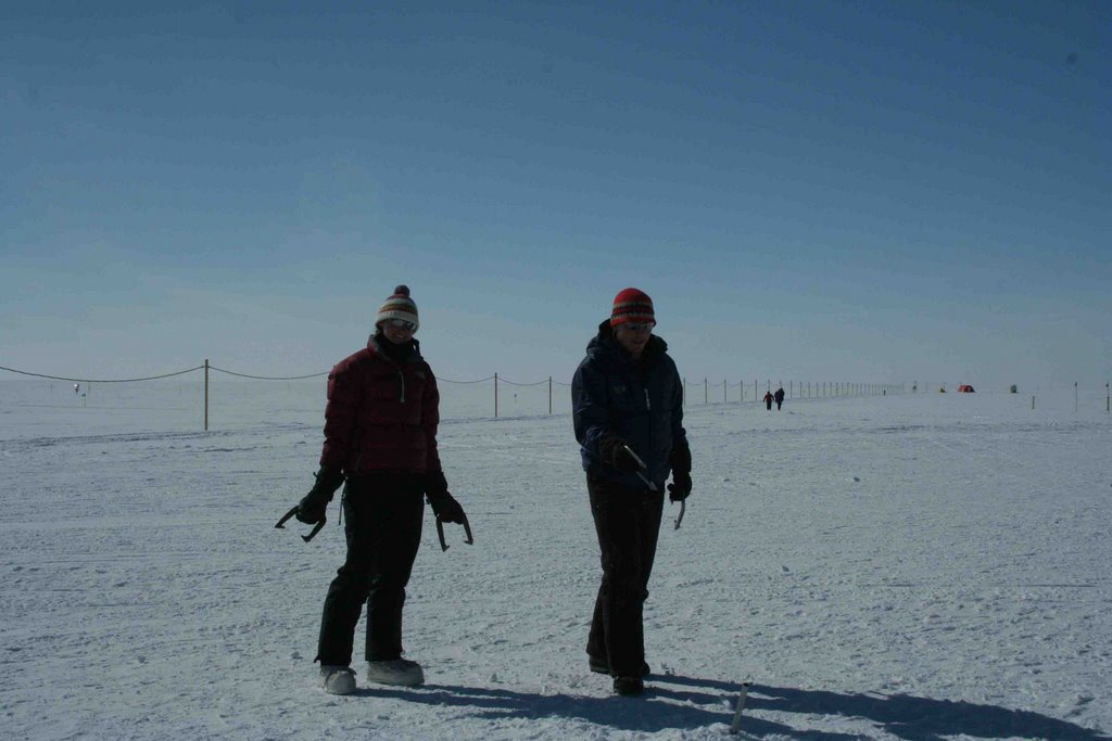
While we're up here, we sample surface snow quite a bit for isotopes of nitrogen. Hopefully I'll get really ambitious and write up a small science tab to this blog, but for now, I've just put this picture up so that you can experience some small part of what we experience up here.

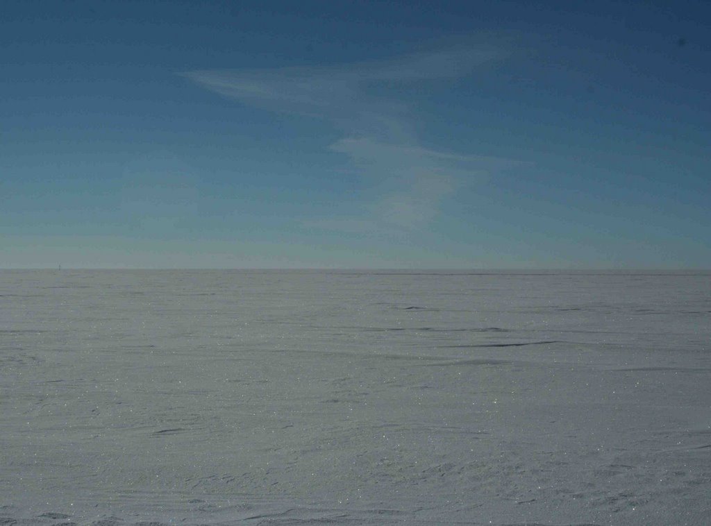
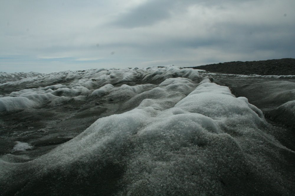
This is a typical landscape photgraph of the summit of greenland. See that polar bear off in the distance? Yeah, just to the left of center just near the horizon. Alright, fine, I'm Just kidding...
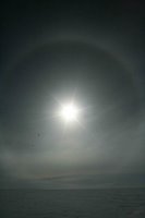
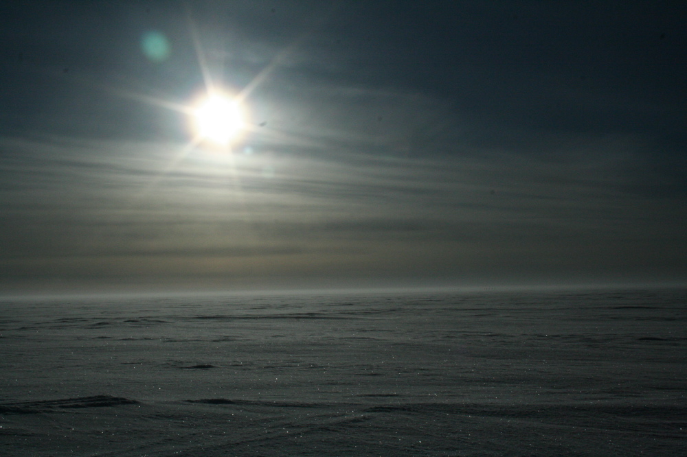
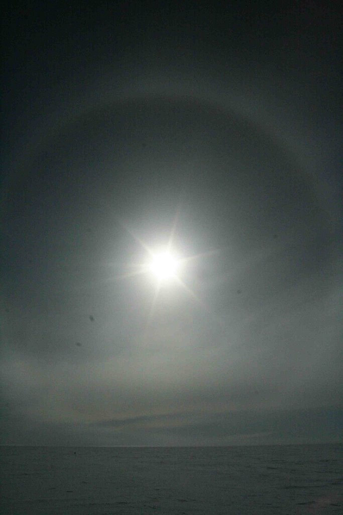
Finally, a photo of a halo. You see halos around here on days with thin, but broad high cirrus clouds. Because cirrus clouds are composed of ice crystals (which are all 6-sided), light from the sun is bent through the cirrus clouds, forming a halo. It's basically the same idea as a rainbow, but harder to see in climates where you'd actually want to live...
Alright, even though I'm still a bit behind on posting photos, this is all I can do for the day. We're off to drill an ice core today!
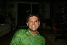
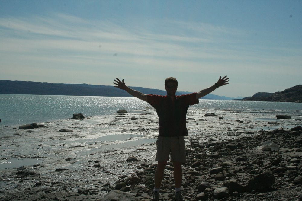
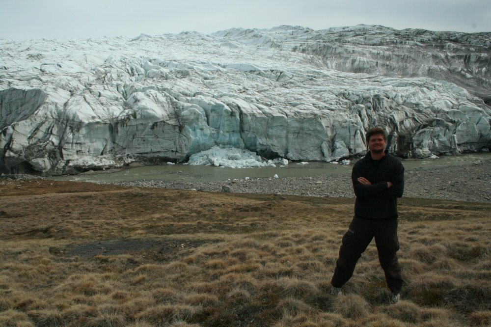 This is me pretending to look significant next to the ice sheet. What a beautiful place!
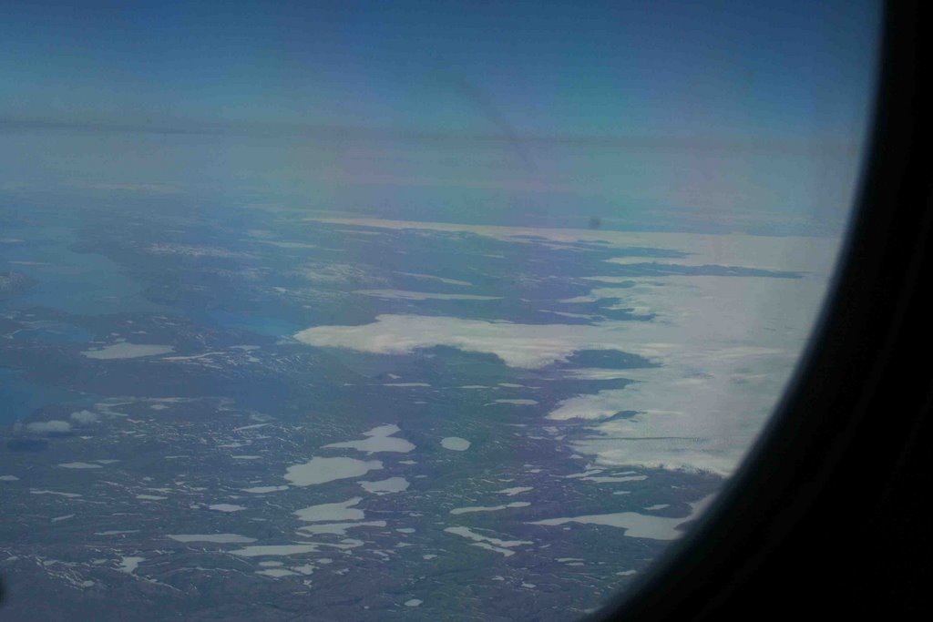
 Meredith, Lora and I took a bike ride out to the "harbor" in Kanger. This is a photo of me being a dork (shocking) near the harbor. As near as I can tell, the harbor is one building with the primary function of leaving folks behind when they arrive only one hour before the scheduled ferry departure time. But, I guess that's another story...
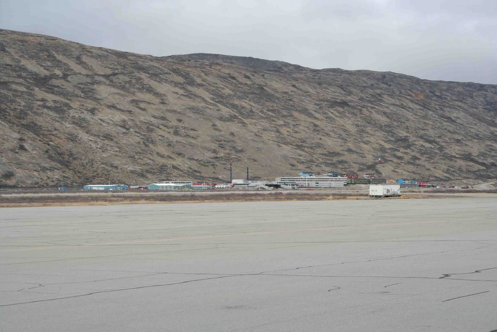
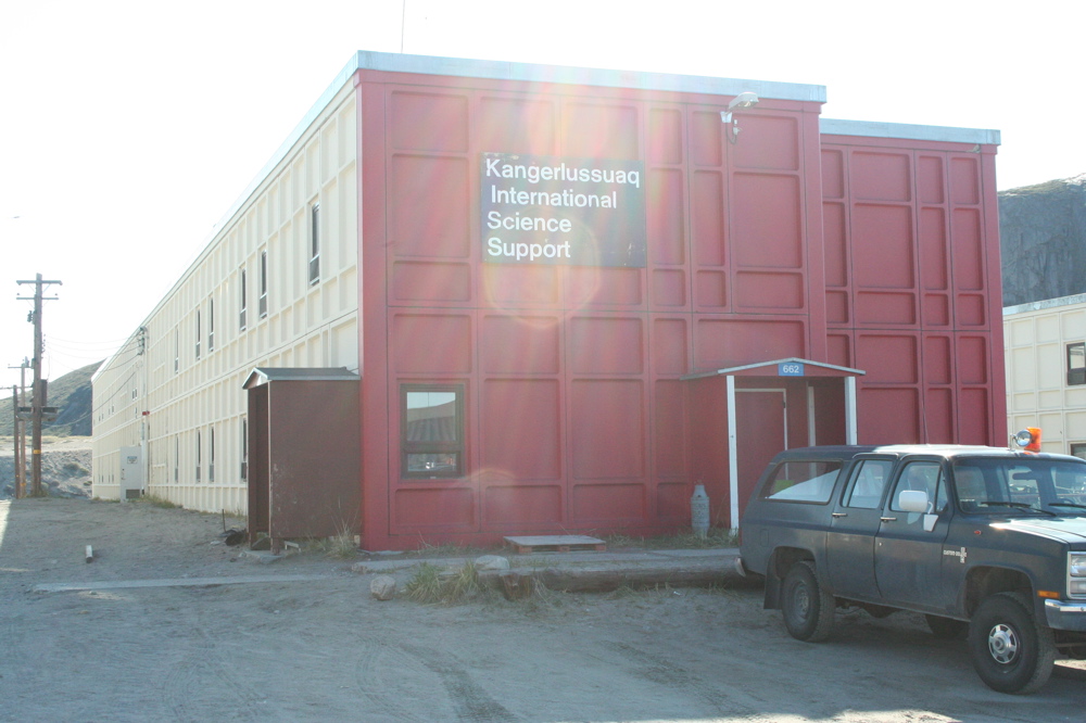 This is a photo of the KISS science support facility in Kanger. This building houses the scientists and all support staff while we wait for a plane to fly to one of the bases on top of the ice or to fly back to Albany, NY.